More heavy snow falling across the northern mountains; gusty winds and a few snow showers for the Front Range

We've got another system swinging through the state today and Thursday which will bring more wintry weather to parts of the state.
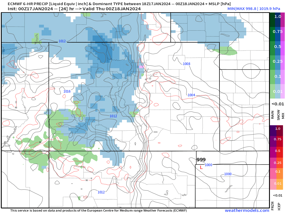
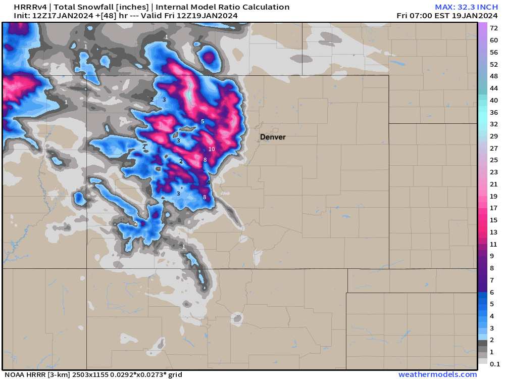
The northern and central mountains will see another 1 to 2 feet of snow by the time things wrap up on Thursday, in particular across the higher terrain of the Gore and Park Ranges. For lower elevations, snow with this system will be sparse – in fact, the latest HRRR (below) shows nothing along the urban corridor through Friday morning. Still, some snow showers may at times peel off the high country, with about a 20% chance of snow in Denver through Thursday.
The hourly planner for the Denver metro area shows that slight chance of snow showers/flurries, as well as a bit of a hit to our temperatures Thursday and Friday. In all though, nothing all that snowy or cold to worry about for the metro areas with this system.
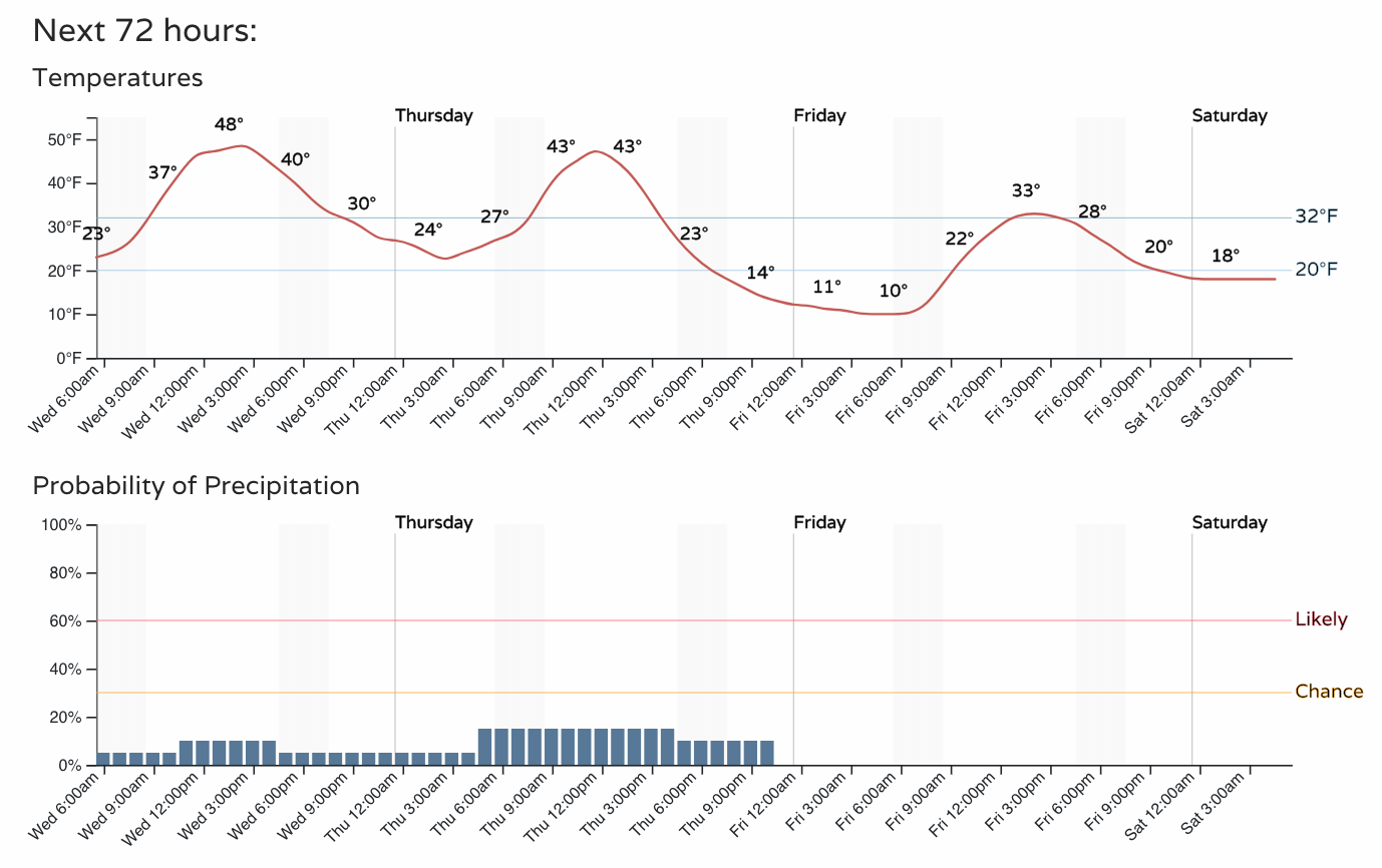
Wind will be an issue at times. Today in the foothills, tomorrow more across the plains. For the lower elevations it doesn't look like a crazy windy event, but expect some gusty winds at times to 20 mph at times Thursday.
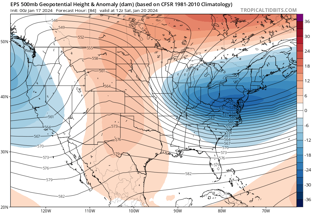
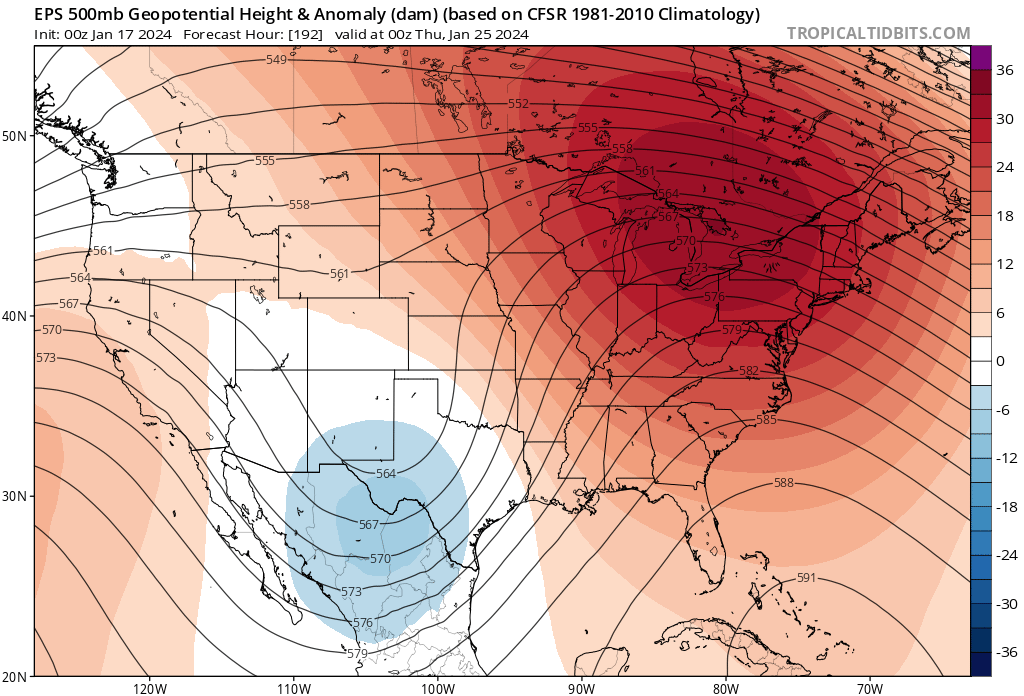
After tomorrow's shortwave moves through we see ridging build back in for the weekend. We'll be in the mid 30s to low 40s on Saturday, to perhaps near or into the low 50s for Sunday and Monday as the ridge moves overhead.
The next system to watch moves in later next week. Right now models want to take it pretty far south which would limit impacts on our area, but we'll be tracking things through the weekend and see if there's any change to that trend in the data.
Conditions should be great for skiing this weekend in the high country, so get out and enjoy all that fresh powder we have to play in – and stay safe!
11 consecutive snow days since January 5! ❄️ With 76 inches at mid mountain and 88 inches at the summit this month, we’re nearing towards the third snowiest January since 2017. 193 inches total on the season, keep it coming!
— #SteamboatResort (@skisteamboat) January 15, 2024
🎥 @gopro #gopro pic.twitter.com/tHzuRe97K3