Transitioning from El Niño to La Niña and what that could mean for spring

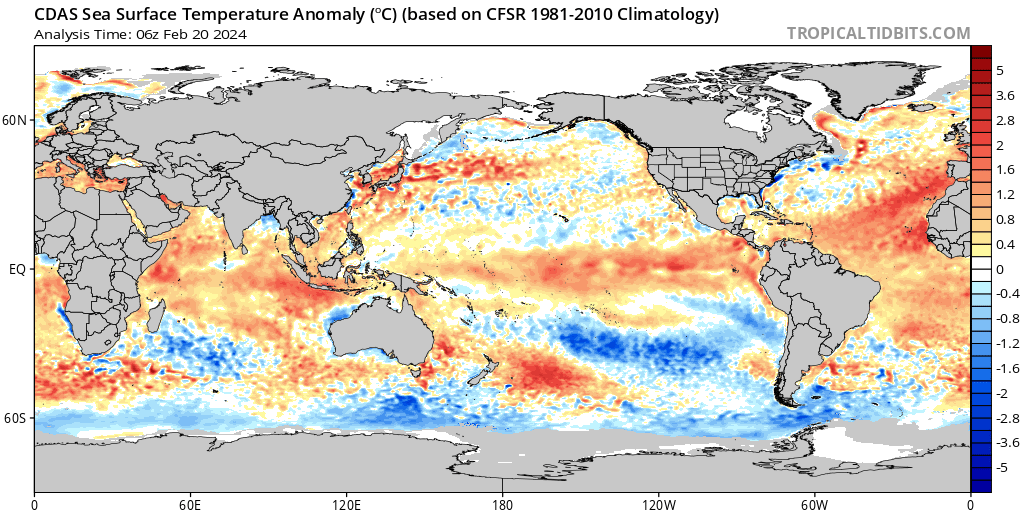
We've been locked into El Niño conditions since last spring. Sea surface temperature anomalies have been much above average in the equatorial Pacific Ocean, but have recently really started to cool off. The El Niño peaked in late December and early January, and continues to weaken. Here is the equatorial sea surface temperature anomaly animation, during the past 90 days. This graphic represents the depth (0-450 meters) and east (120 degrees E) to west ( 80 degrees west) across the equatorial P
This is a Insider post. Please login, or sign up for Weather5280 Insider to continue reading.