Severe Thunderstorms Hit Denver Metro, Eastern Plains, to Repeat Tomorrow

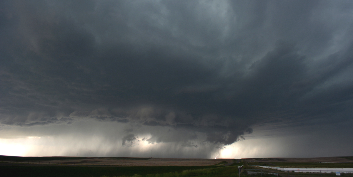
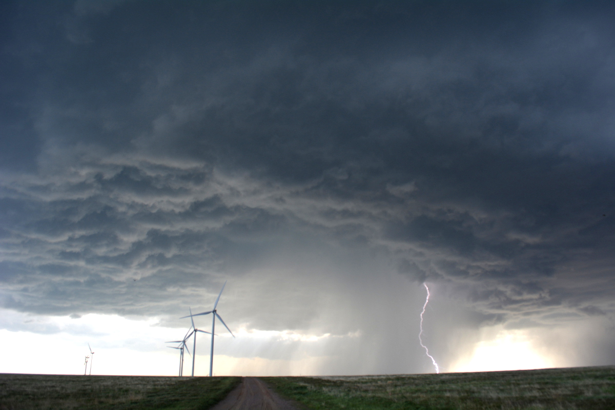
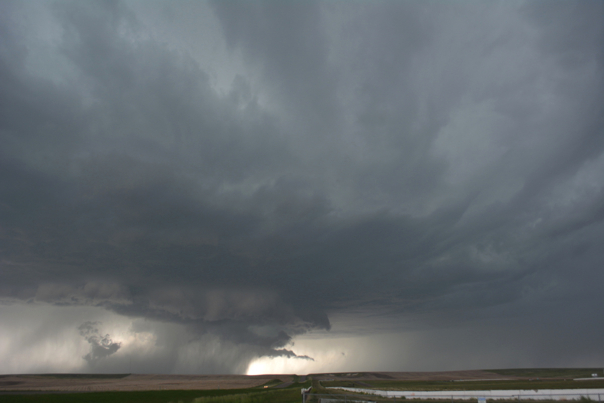
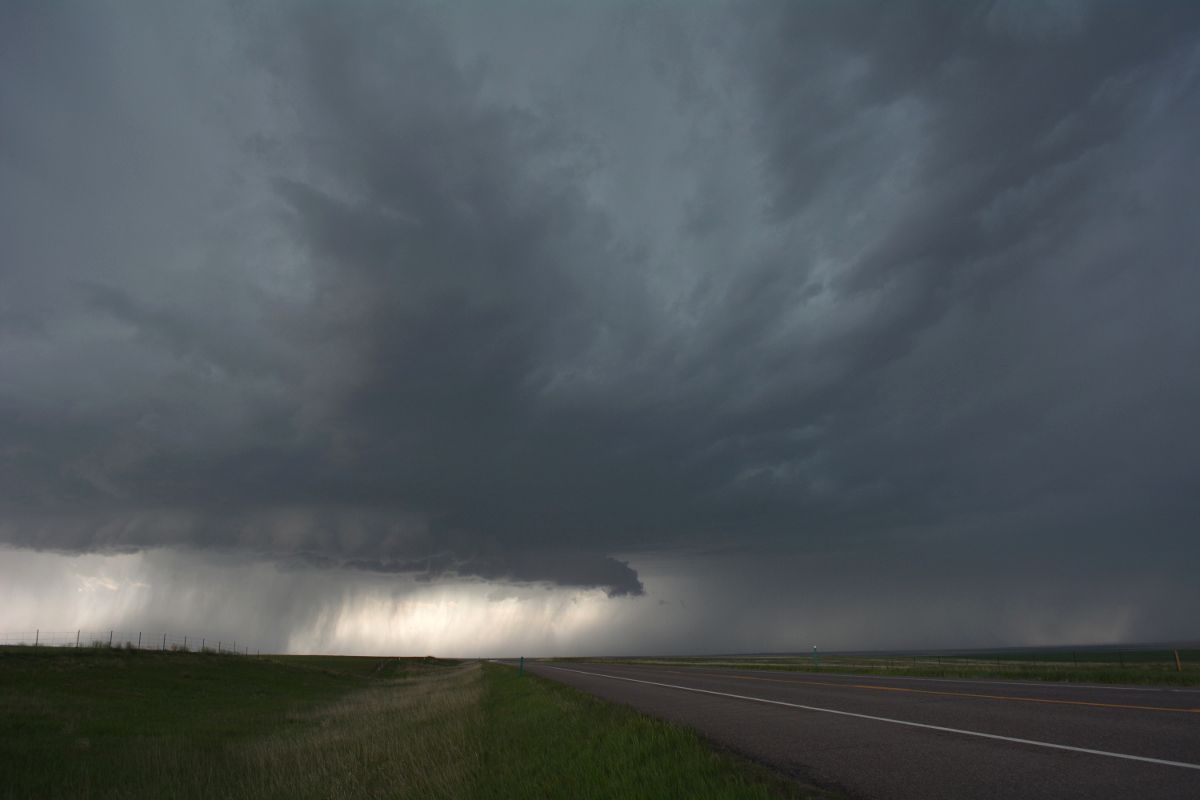
An active week of weather kicked off with a bang today in Denver as a severe thunderstorm rolled across the city during the early afternoon hours. The storm would go on to produce a tornado warning over the southeast metro area, and severe thunderstorm warning clear east to the Kansas state line this evening. As of 9:30pm there were still several active severe thunderstorm warnings out, and a tornado warning for extreme eastern Colorado.
As we mentioned in yesterday's post on this week's severe weather threat, today's action would be limited in scope. This means not everyone saw storms today, much of the focus occurred over the greater Denver area this afternoon, then moved almost due east.
Tomorrow looks to be another active day for storms across the metro area and eastern plains, with perhaps more widespread activity -- especially north, where it was quieter today. Here are the latest probabilities from the Storm Prediction Center on severe weather within 25 miles of a given point tomorrow afternoon.

The storm produced heavy rain and a lot of hail as it pushed east off the foothills. Take a look at some of these hail photos shared this afternoon from across Denver and points east.
Incredible #hail dump near Deer Trail #Colorado! Over 4" deep in spots on road! #cowx #severeweather pic.twitter.com/zeG6xf26x5
— Michael Charnick (@charnick_wx) May 21, 2014Murphy Creek golf course in #Aurora #cowx pic.twitter.com/8n82qyOMlJ
— Carlos Illescas (@CillescasDP) May 20, 2014I was out east this afternoon tracking the storm as it pushed out of the metro area. Here are a few photos as we followed the storm from southeast Denver east of Bennett and Byers, Colorado.