Cool and Unsettled Wednesday; Warming for the Weekend

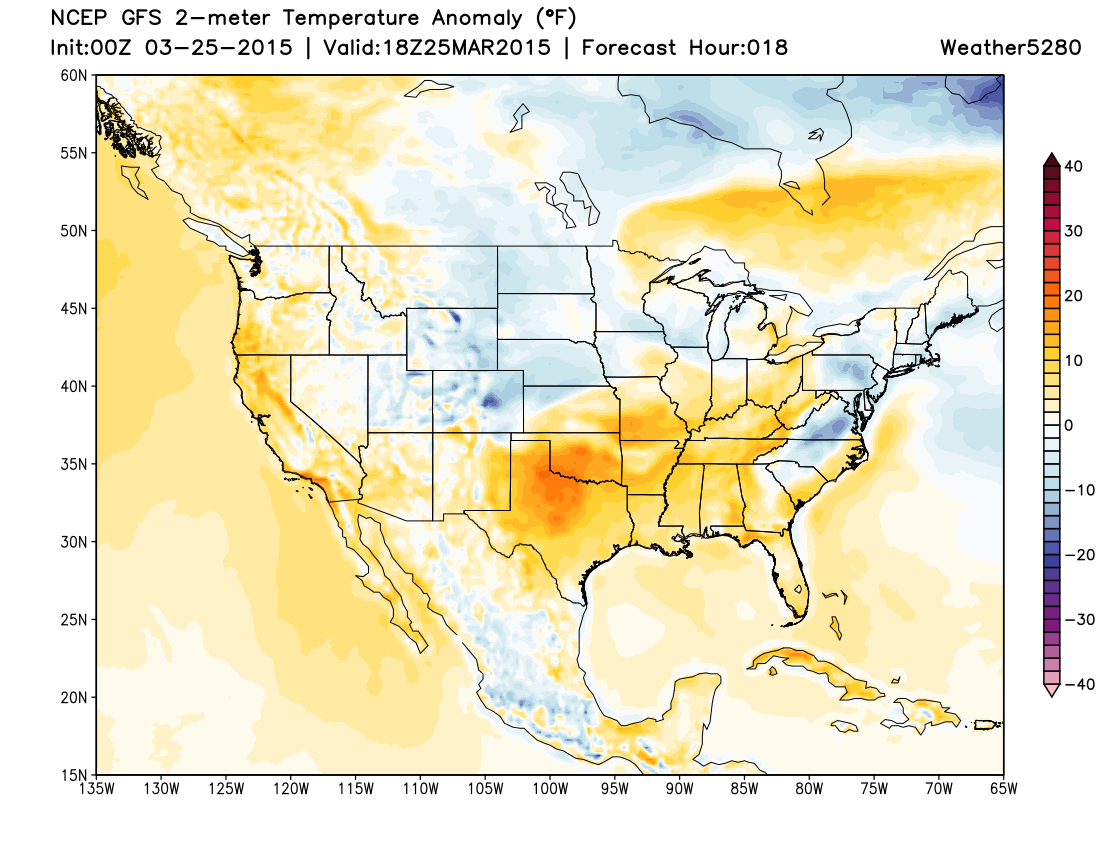
Quick update this evening on our rain and snow chances over the next 24 to 36 hours. Highs Wednesday will be much cooler across eastern Colorado, with rain and snow showers. Temperatures by Wednesday afternoon will be some 20 to 30 degrees cooler than the mid to upper 60s we saw across the metro area today.
Cooler air will work in overnight tonight, with rain and snow showers possible across the plains already Wednesday morning. Temperatures are forecast to be below normal across the entire state Wednesday, for the first time in some time.
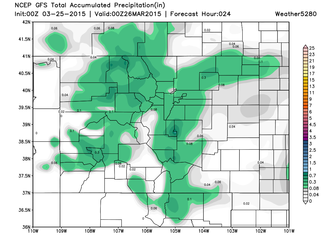
Precipitation will generally be light, but somewhere between a tenth of an inch and 0.5" will certainly be possible up and down the I-25 corridor. Tonight's 00z GFS and today's 12z EURO are both in pretty good agreement here.
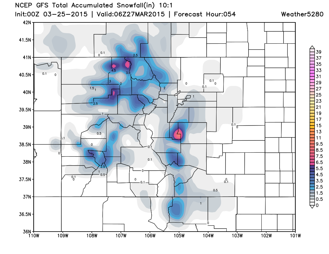
There will also be some snow mixed in at lower elevations, with some sloppy accumulation possible across higher terrain west and south of Denver. For the mountains, another round of several inches through Thursday morning as well.
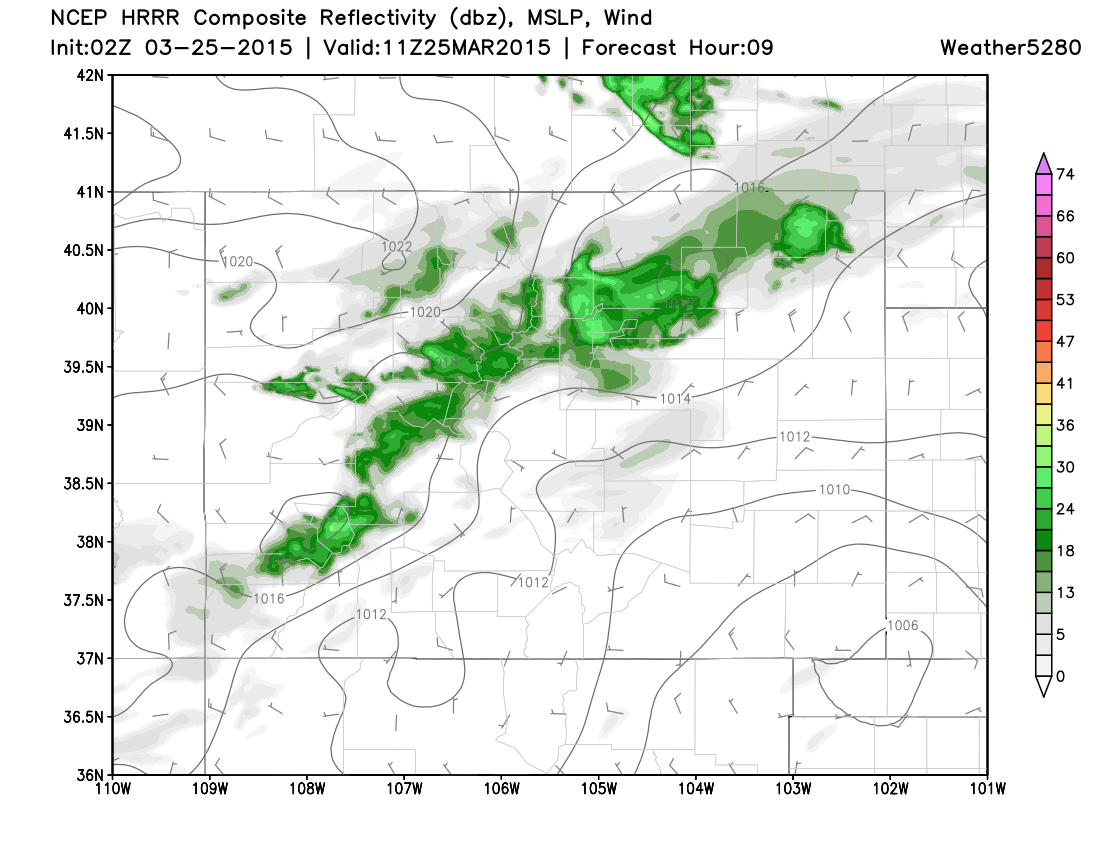
The latest run of the HRRR has showers spreading onto the plains later tonight, with shower activity for the Denver area early Wednesday.
Temperatures will likely drop below freezing Wednesday night into Thursday, before slowly rebounding to end the week. Highs Thursday will be in the mid to upper 50s, with 60s Friday, and back to the 70s for Saturday.