Quick Hitting System Will Bring Rain and Snow for Some

As outlined in this week's State of the Atmosphere, tonight will bring a quick hitting system to Colorado which means rain and snow for some.
Denver will be on the northern edge of the greatest precipitation chances, and with warm surface temperatures and little precip to work with we expect little to no accumulation in the city.
South and southwest suburbs of Denver stand a better chance at seeing some snow overnight Tuesday into early Wednesday morning, with the best chance for snow to stick being at elevations >6,100 feet.
For Denver we'll go with rain and snow showers overnight into Wednesday morning with some light accumulation (slush) possible but not expected -- even on grassy surfaces. All roadways will remain wet rather than white. Our southern and southwest suburbs could see 1 - 2" of snow.
From Castle Rock south the greatest snowfall accumulation will be west of I-25. Castle Rock could see 1 - 3" on colder surfaces, with 2 - 5" possible for Monument. Greatest snowfall totals will be west of Colorado Springs where a Winter Weather Advisory is in effect for 4 - 8" for Teller county above 7,500 and the Pikes Peak region.
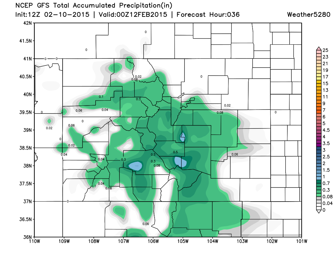
Here's the latest GFS precipitation forecast through tomorrow, which actually looks pretty inline with what we're thinking.
We'll warm things up and dry things out to end the week!