Wednesday AM Update: Another Push of Cold and Chance for Light Snow
You've no doubt felt the chill as the latest push of cold air arrived early Wednesday. This cold air originated in Canada and has dropped in over our area to last through Thursday.
Here's an animation showing the colder airmass, note how much colder areas are to the east of us:
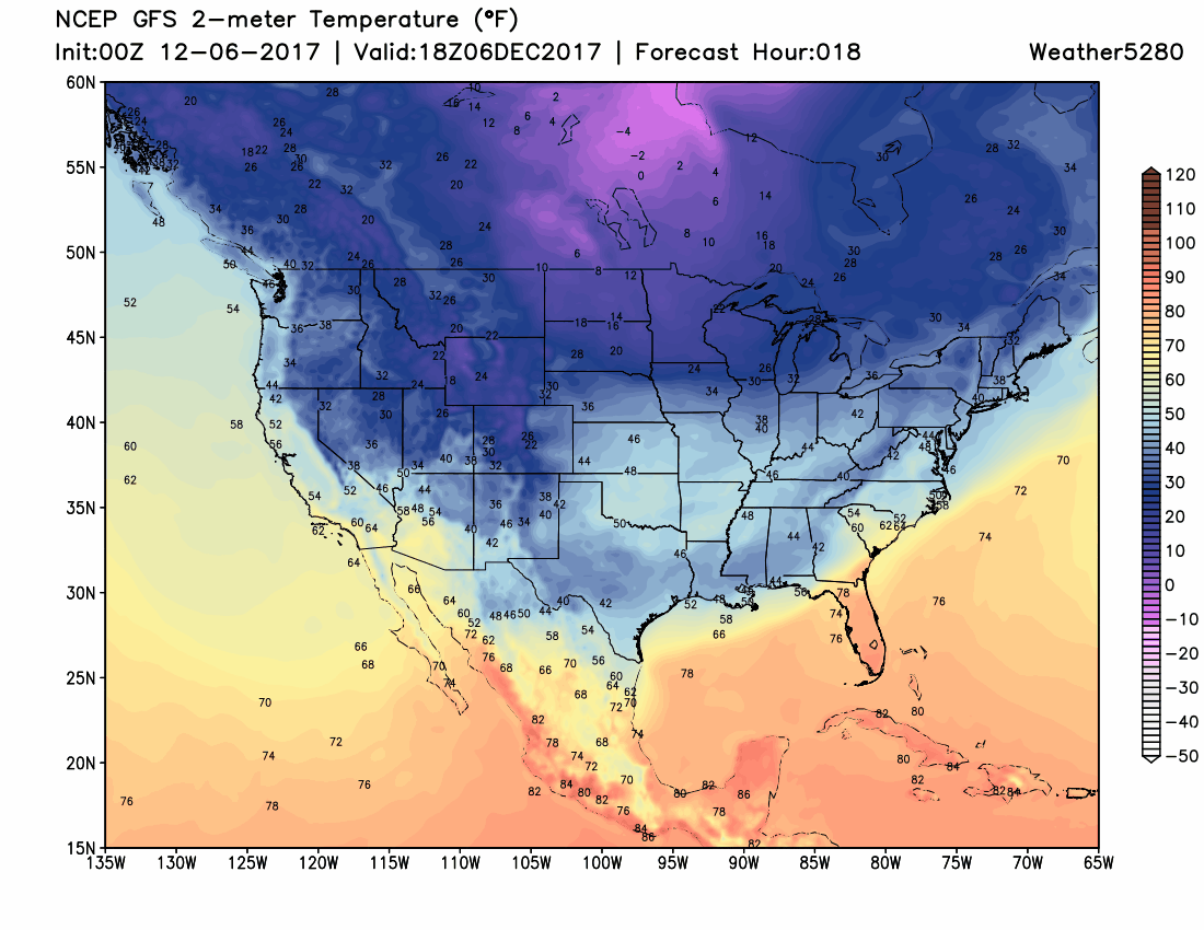
This temperature drop (highs in the 30s today and tomorrow, lows in the teens) along with gusty wind will be the biggest impact out of this mid-week weather maker.
The strongest wind will be over the state's eastern plains, but significant wind may impact the Front Range at times, too. This will cause cold wind chill readings in the teens and single digits for roughly the next 48 hours.
The wind may also push some snow showers through also. Given the airmass and type of weather system there will not be a focused snow area, rather snow showers will be sporadically placed, blowing in from the north/northeast.
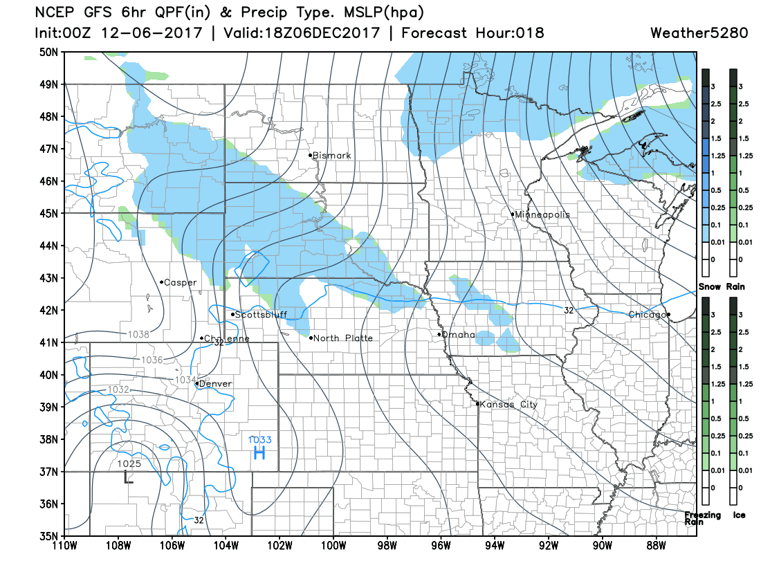
This particular model shows two higher chances of snow showers across the area. One later Wednesday and the second later Thursday.
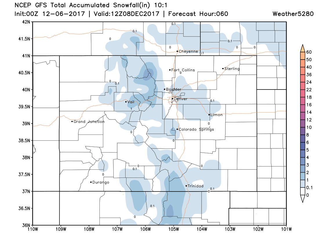
In total, we aren't looking for much accumulation at all. Consideration: the totals here are based on some favorable terrain areas, and any snow shower is possible of minor accumulation statewide, not just in these shaded zones:
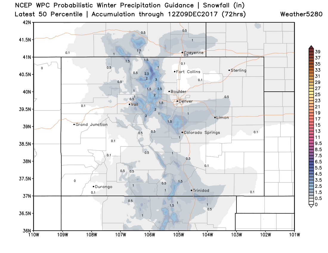
The WPC 50th percentile outlook shows the potential for a dusting to an inch in a few locations. The best chance for anything to actually accumulate looks to mainly be along the Palmer Divide and northern Front Range mountains. Most areas along the urban corridor (including Denver) will be in the 20 to 30% chance range for snow.
Bottom line: Temperatures and wind will be the biggest impact on your day and Thursday, but don't be thrown off if you come across a burst of snow. Friday begins a warming trend to carry us through the weekend.