Weekend Update: Cold New Year's Eve, Otherwise Mostly Quiet Weather

A quick update this afternoon to follow up on our post from midweek. You've no doubt felt a cool down from the warmth we experienced across the region yesterday. That trend will continue, with even colder air in place for your Sunday and Monday, before moderating toward the middle of next week.
Denver saw a high of 64°F yesterday, which, while not a record, is about 20 degrees warmer than we should be this time of year. Today we'll see highs closer to average, before they dip below average for Sunday and Monday.
MOS guidance has highs in the 20s for Denver on Sunday, and near 30 on New Year's Day. Overnight lows will be in the teens and single digits the next three nights. If you are going out for New Year's Eve celebrations, PLEASE dress accordingly and stay safe.
As for precipitation... well, there won't be much of it. Biggest concern will be foggy conditions off and on the next few mornings, with most areas seeing flurries at best later tonight and Sunday. If you live across northeast Colorado (Fort Collins -> east) your chances are slightly higher to see a light coating of snow, but again, those chances are relatively low.
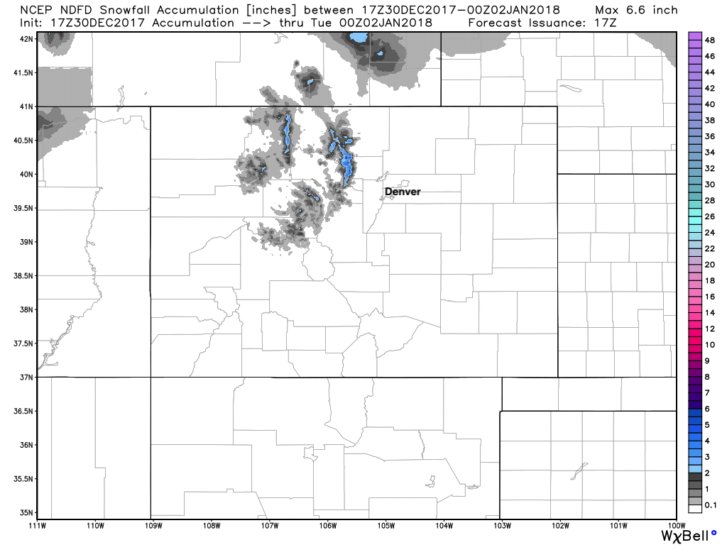
Below is the NWS snowfall forecast through the weekend – perhaps some light accumulation for the northern mountains, but that's about it:
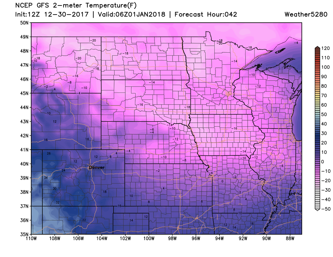
Temperatures overnight Sunday into Monday will be cold. Here's a look at forecast 2 meter temperatures across the high plains, with wind chills colder than this:
By Tuesday this cold airmass shifts east of the region and we start a bit of a warming trend. The weather through the next week looks mostly uneventful for us – and it could remain so for some time to come.
From all of us here at Weather5280, Happy New Year! Here's to hoping 2018 brings some snow! ❄️