Friday AM update: Snow will be heavy for some, a miss for others

We continue to track rain and snow chances as the day progresses and into the overnight hours tonight. Snow is already falling across the northern Front Range mountains, and this activity will slowly expand across the urban corridor and Northeast Plains through the afternoon hours.
While many of us likely won't see all that much snow, a period of at least briefly heavy snowfall will be possible this evening along the urban corridor. For areas south and southeast of Denver a more impactful event may unfold, with perhaps blizzard conditions at times tonight east of Denver –– mainly between I-70 and I-76.
We've gone ahead and upped our totals here a bit. We'll go with 3 - 8" across the Palmer Divide and east-central Plains. The snow will come heavy at times, and in combination with the wind will cause whiteout conditions at times overnight.

For Denver we'll stick with 0 - 4" or so. Even if we see a period of heavy snow this evening for the cities, we think it'll move on before long. Higher totals, we think, will be more likely away from the urban core, and where a bit more of a prolonged period of heaver snow may shape up south and east of the metro area.
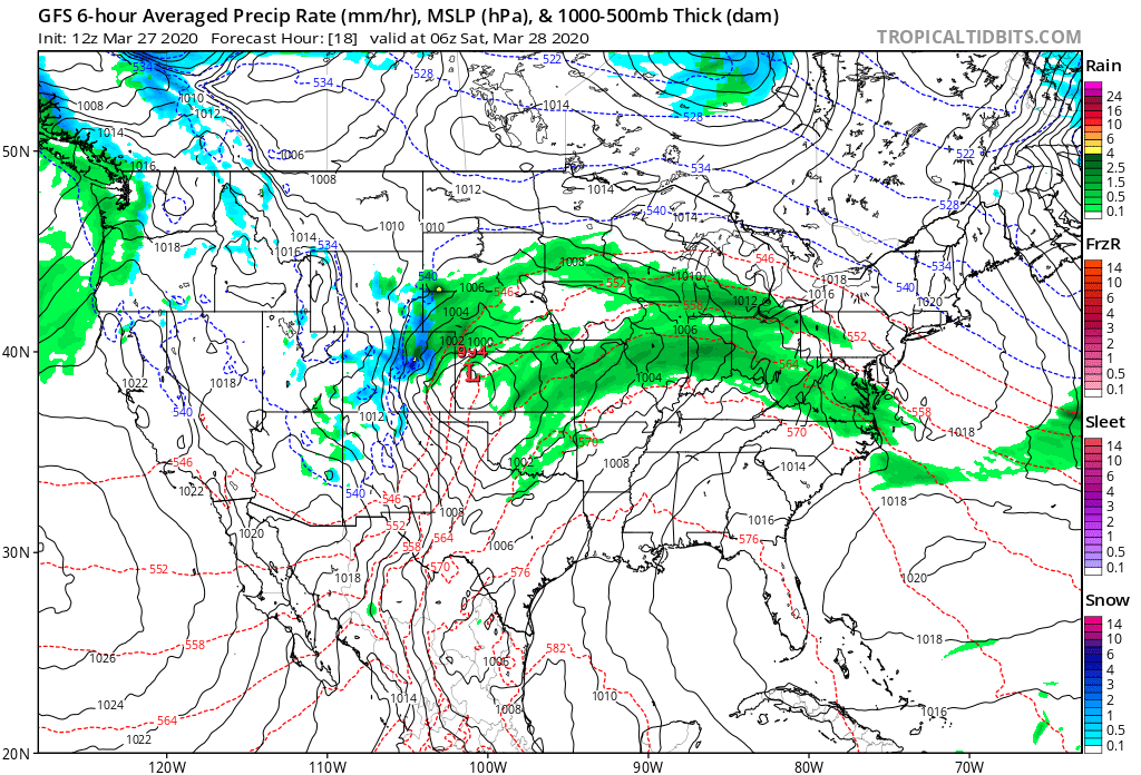
For timing, it looks like the best window for that rain or snow across the urban corridor will be between 4pm and midnight, with lower chances after midnight as the heavier precipitation moves east:

The HRRR shows a similar idea.
Rain and snow increasing across Northeast Colorado between 6pm and 8pm:

Becoming heavy at times along the I-25 urban corridor (or just east) by 9pm:

And then really shifting the heaviest snow east after midnight:

So, again, maybe not a huge event for the cities... but perhaps a period of heavy snow before this thing moves east. Along the Palmer and east of Denver could be a different story, with some possibility for high-end totals for a few areas tonight.