A look at rain and snow chances for Colorado the rest of the week before our significant storm hits this weekend
Before the state is hit with the significant storm system to provide impactful snowfall this weekend, we have chances of rain and snow before hand. Let's discuss the rest of the work week as you may have altered plans and are busier the next few days as a result.

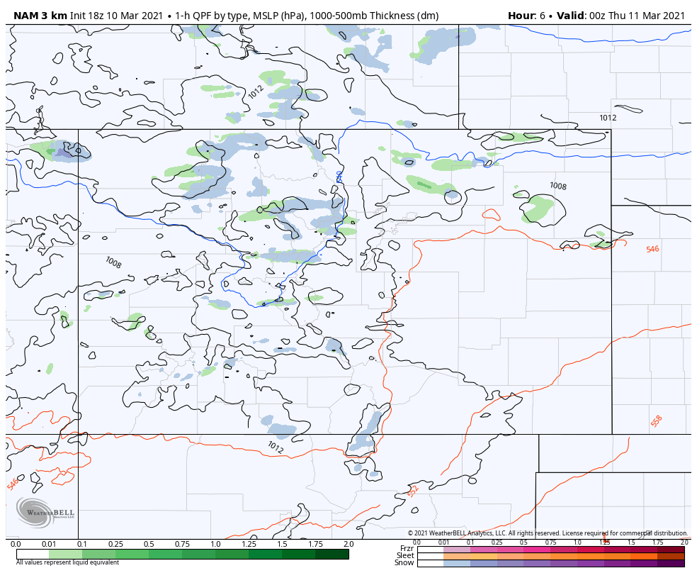
That's a quick animation, literally!, of the areas of rain and snow Wednesday evening through Friday evening. We see occasional rain and snow showers across Colorado including parts of the metro areas. The last few frames do show an uptick in activity as the weekend system nears.
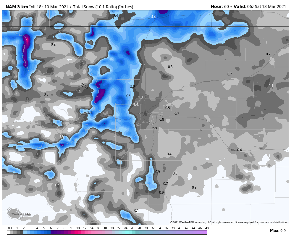
Overall, this activity shouldn't deter travelers (unless you are headed into Wyoming which has already had deep snow in areas). Across Colorado we will have some snow accumulation, but not really plan-limiting. What you need to know is we will see some rain and snow Thursday and Friday, ahead of the main event this weekend.
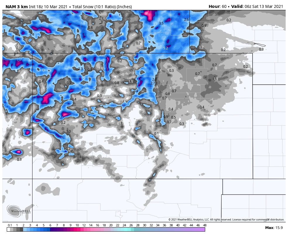
And, from Cheyenne to Colorado Springs we can see some pockets of snowfall, too. However, those that will see several inches are into the higher elevations or those across the Cheyenne Ridge.
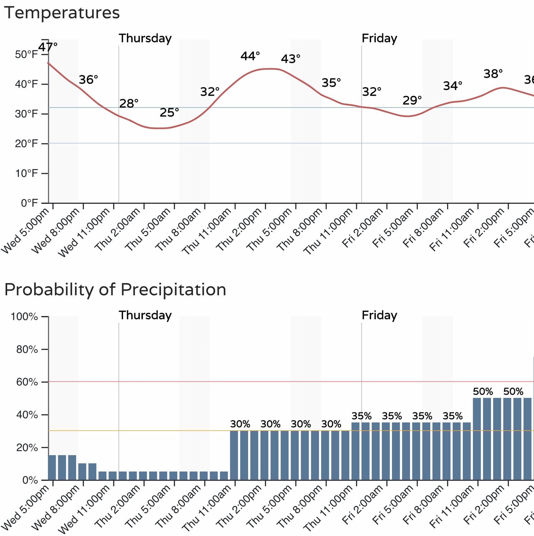
Again, this is to end the week before the main storm system hits this weekend. An hourly look at it for the Denver area:
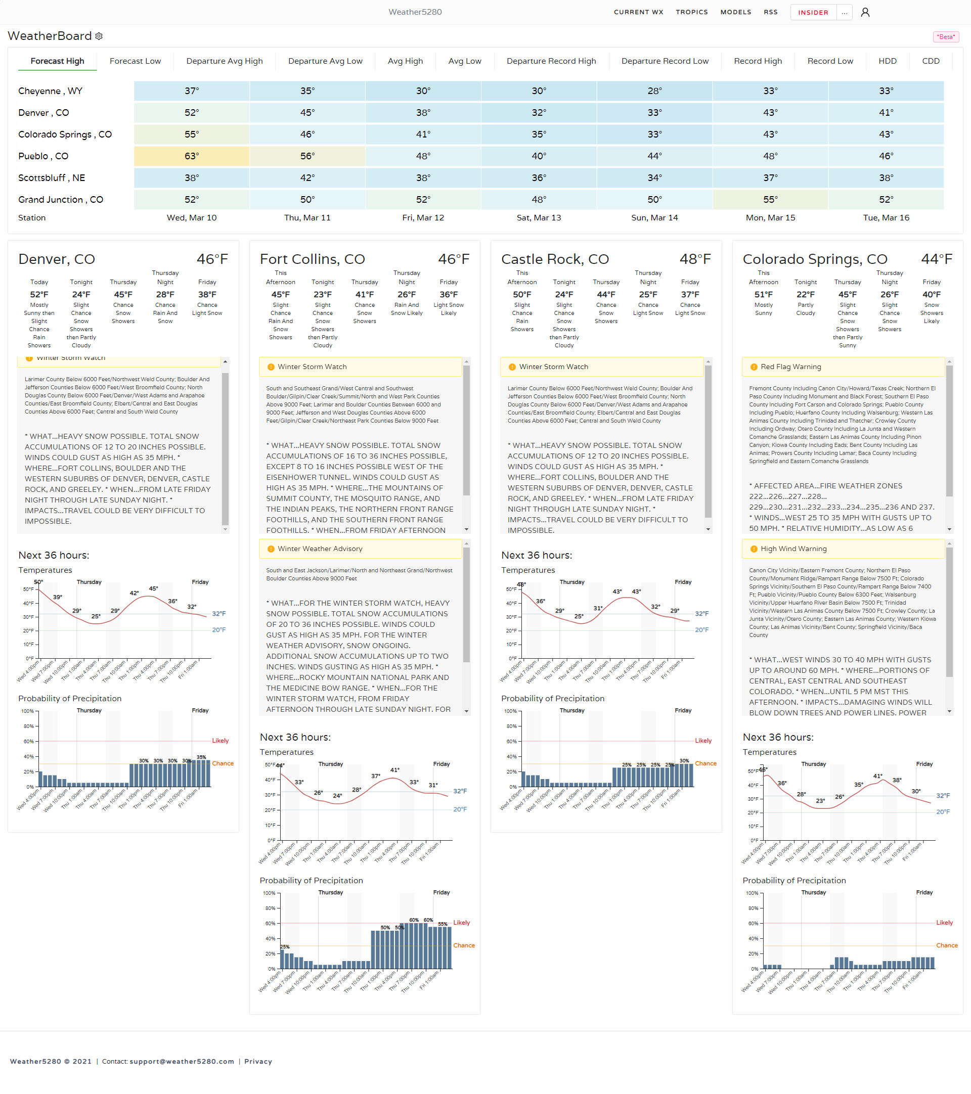
You can subscribe to Weather5280 for hourly and longterm forecasts for multiple locations just as we did here:
There will also be periods of windy weather, more so for southern Colorado and the Front Range mountains.
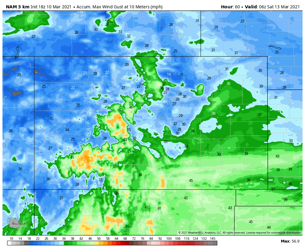
The image above shows the strongest wind gusts on the San Juan Mountains.
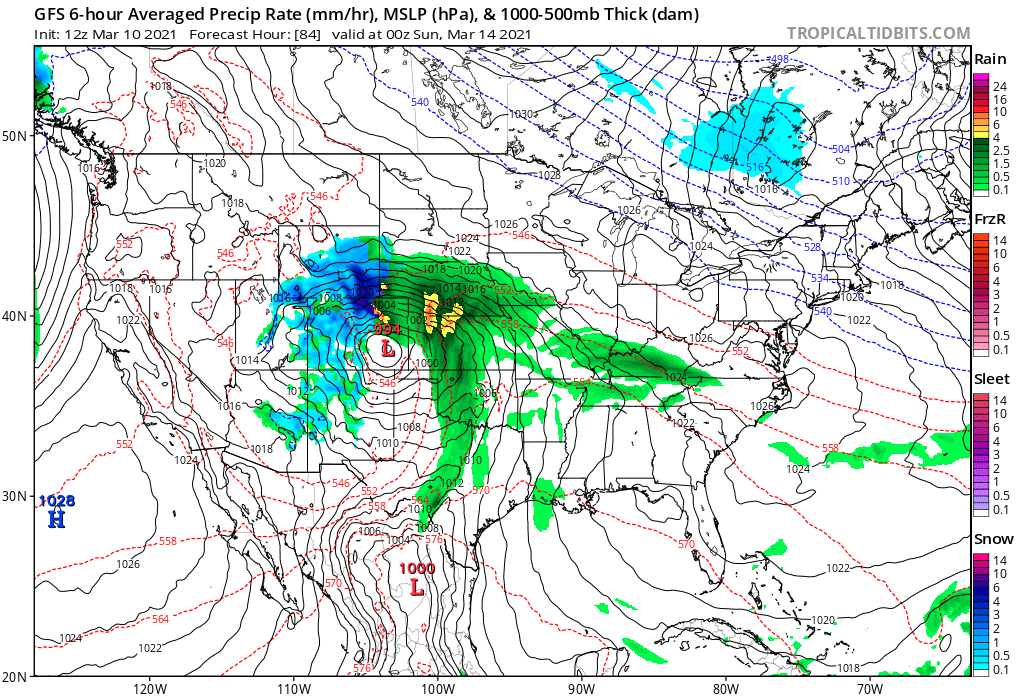
That will cover the rest of this week. The weekend storm remains on track with a few remaining questions to be sorted out the next three to four days.
Midday data Wednesday has yet to offer any data suggesting our forecasts to this point need to be changed. A high impact event remains possible Saturday through Monday morning. You can read our latest discussion on this weekend's storm here: