Colorado weather: Tracking the potential for an impactful winter storm across the region next week

We discussed next week's storm(s) with Insiders yesterday, and we were hoping to let more data come in before discussing the 'elephant in the room,' however, we've received quite a few inbounds asking for updates, and social media is abuzz today, so... here goes!
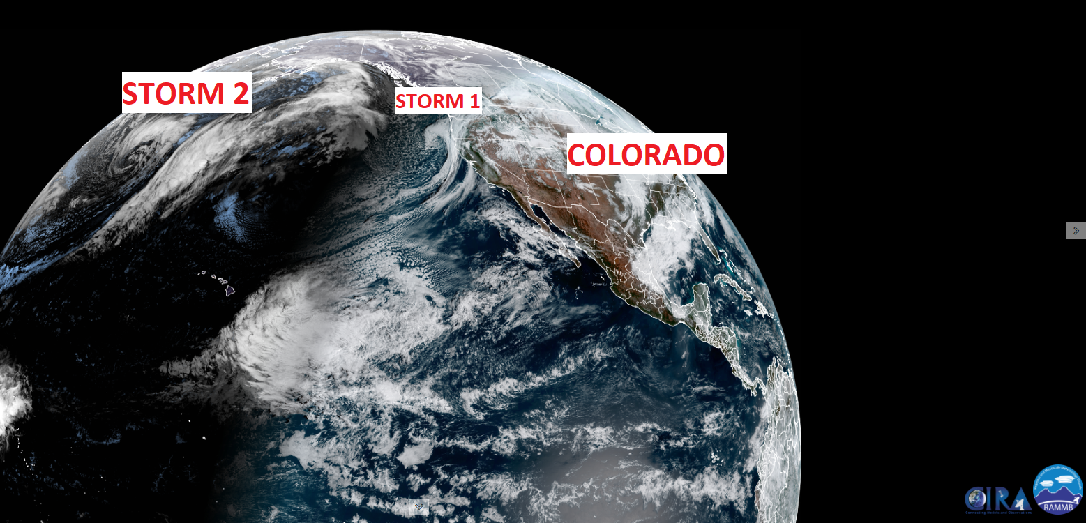
There are a couple of features coming through the region next week. The first is a storm that will impact the Four Corners and Southwest before dying out over the Plains by early in the week. This will be replaced by a – potentially – stronger system that will move through by midweek.
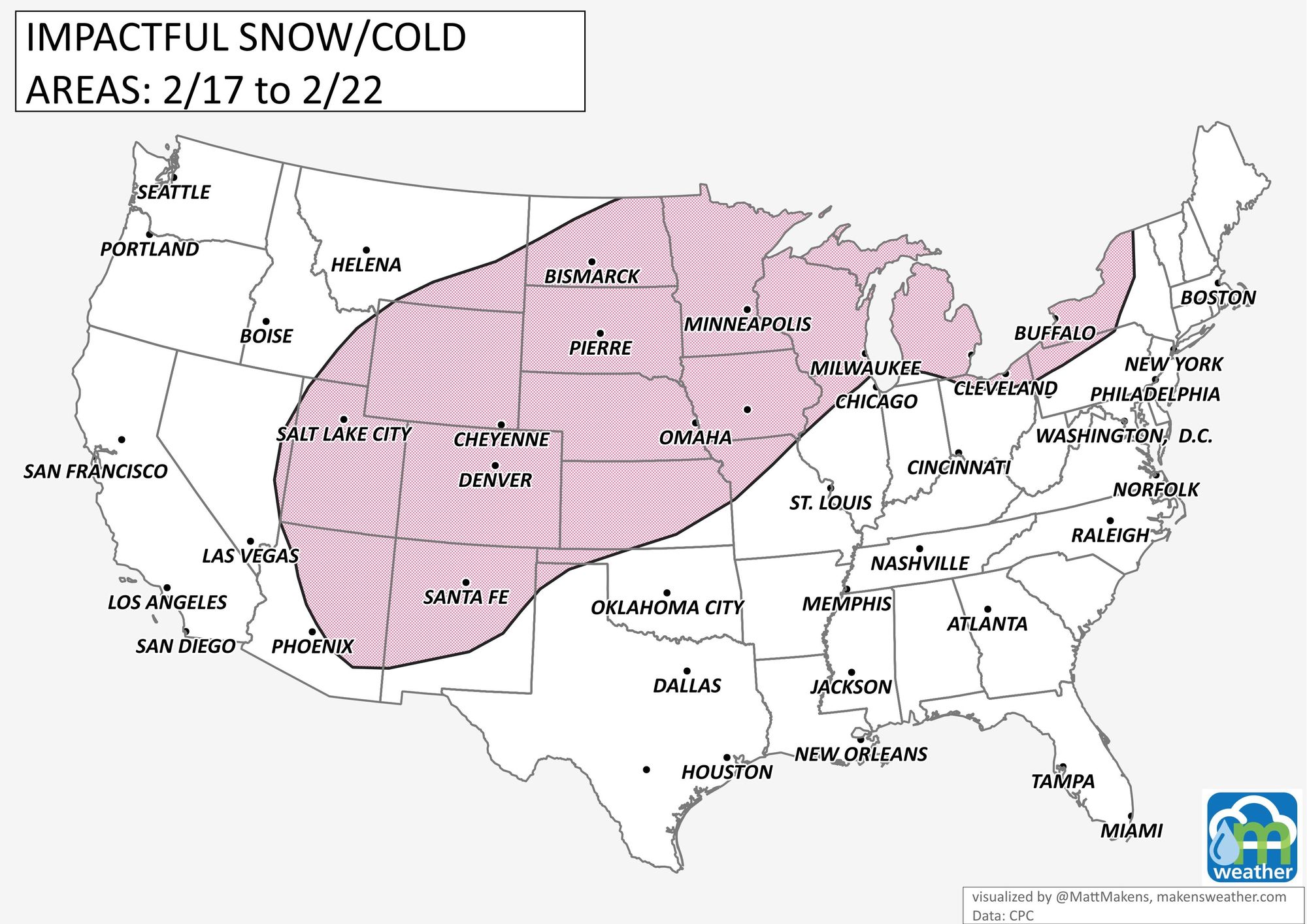
The combination of these will have the energy and moisture available to create lots of impacts throughout the region and here in Colorado, too. As it appears now, the Front Range from Cheyenne to Santa Fe are all curiously awaiting new data. With that said, lots of sources out there already "calling this one" and giving their snowfall forecasts. We won't be doing that, that's not all that responsible, but we will talk through some of the timing and impacts that you should be aware of as you look through weather posts and broadcasts this weekend. As of today, the storm does look pretty good for snow for the mountains, Denver, Colorado Springs, and across Southern Colorado. Insiders can find our latest Snowfall Gamber charts here.
First off, the area to watch for is shown here. This is based on cold and snowfall potential. There will also be a lot of wind with the systems as they move by.

That's a pretty broad area, isn't it? That's because the ultimate track of the two systems, mainly the second, is still in question.
Where are these systems right now? The first is off the Washington and Oregon coast and the other is developing near Alaska.
We have a long way to go and a lot of data to sort through for accuracies before we start calling snowfall ranges.
Bottom line here, yes we are watching two systems that will have an impact for the region with potentially significant impacts should trends continue as they are through the weekend. We will provide plentiful updates and snowfall forecasts as we get closer.
Right now, here's the 'rough' timeline for the storm(s). Timing can change significantly based on the ultimate storm's path. Like we said, as of now it looks like second system has the best potential for our area, with next Tuesday through Thursday likely being when the biggest impacts are possible here in the Denver metro area and for the state as a whole.

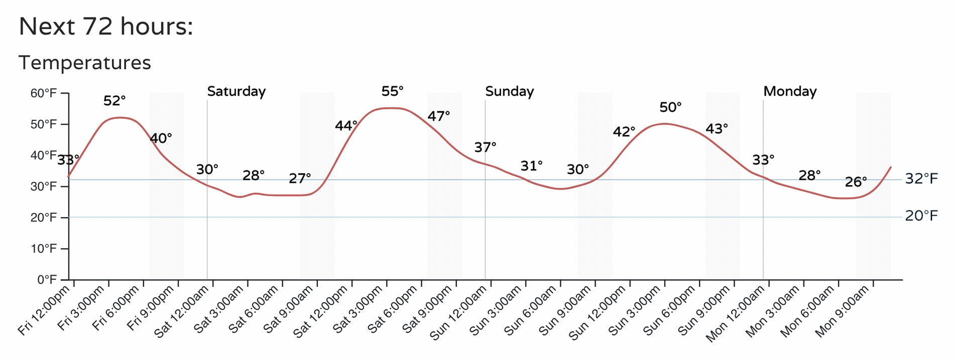
Before we get to the storm, we have some mild days ahead. How do some 50s sound?
Keep us posted with conditions at your location by entering comments below, and don't get left out in the cold – subscribe to our email list today – it's free, and we send you an email when there's important information to deliver.
Enjoy your Friday, more to come!