Colorado Christmas forecast: Will it be a White Christmas?

Have had a bit of a break from the action as of late and for most of the rest of this week should be quiet through Friday. However, deep within the recesses of the Weather5280 Slack Channel, four dudes have been eyeing a Front Range Christmas storm potential for days now.
Now, there's definitely still a storm present on the models, BUT, the track and timing are still pretty uncertain. Those two factors will be critical in determining if this storm ends up being a travel-disrupting-biggest-storm-so-far-this-season... or just another one of the storms that just "slows us down a bit" that we've seen over the past couple months.
What do we know now
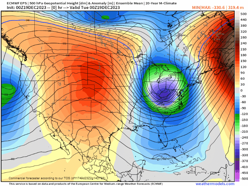
A storm is currently spinning off the shore of California and is expected to move east into the 4-corners Friday and into Saturday. We also have a trailing piece of energy that will phase with this initial system which is what's causing some uncertainty with the forecast ahead.
Pinning down exactly where and when these two shortwaves merge will dictate how much we're impacted.
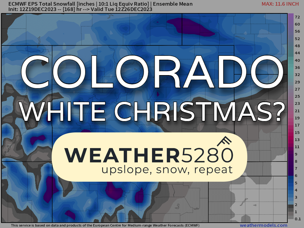
At this point, if you're looking for a White Christmas (1" of snow or more on the ground), this is probably your year. A quick and dirty early look at snowfall potential shows some decent odds of at least 3 inches of snow between now through the Christmas Holiday. For example, the areas near Castle Rock have the highest probability in the latest data, and that chance is near 75% likely that at least three inches falls here.

Below is an early look at how the storm evolves and how it times out. There may even initially be some mixing with rain as the storm first moves in Saturday night, before the cold air takes over Sunday and we see a change to a majority snow.

And a peek a general precip trends for this system does show favorability for the northern Front Range, especially for the Denver metro. Having an enhanced band of precip following the South Platte River into Denver usually indicates a northeasterly upslope component to the wind which can help enhance snowfall along and north of the Palmer divide.

What do you need to plan for?
For now... not much. We're still quite a ways out from this thing and we're expecting changes with all the moving pieces that we still have. However, if you are planning on traveling across OR out of Colorado, especially by plane, start having a "plan B" in the back of your head at the very least. With the amount of air traffic going through DIA this weekend things could get bogged down quickly.
Perhaps the good news is that this storm is FOCUSED on Sunday and Monday, so maybe travel isn't quite as busy with folks settling in for the holiday itself. If we were seeing this storm on Friday, it would have probably been a much different scenario travel-wise.
We will have a closer look at timing, snowfall amounts and impacts to you over the next several days.
Be sure to subscribe to our email list, you'll get notified of our posts throughout the week as we approach the weekend. It has the potential to be one of the snowier Christmas holidays we've seen along the front range, so make sure you stay tuned!