
Severe Storms Expected Across Eastern Colorado Tuesday Afternoon

In brief: Severe thunderstorms with large hail and damaging winds are likely Tuesday afternoon and evening across Denver and the eastern plains.
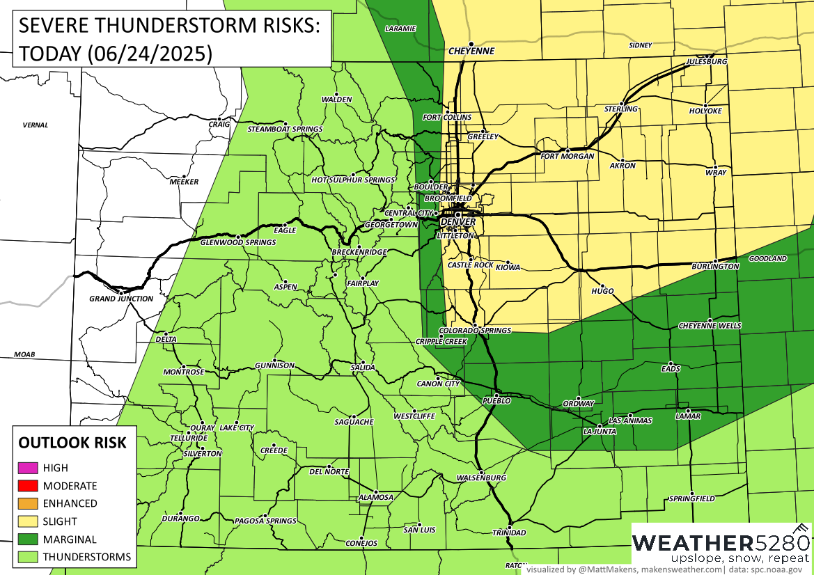
In detail: Get ready for an active weather afternoon across eastern Colorado, especially for those along and east of the I-25 corridor. Strong to severe thunderstorms are expected to develop early this afternoon and move east through the evening hours.

Storms will begin popping up along the Front Range between 1 and 2 PM, with the main severe threat for the Denver metro area likely between 2 PM and 5 PM. For areas farther east on the plains, storms will push through between 4 PM and 8 PM. Be ready for rapidly changing weather during the afternoon drive.
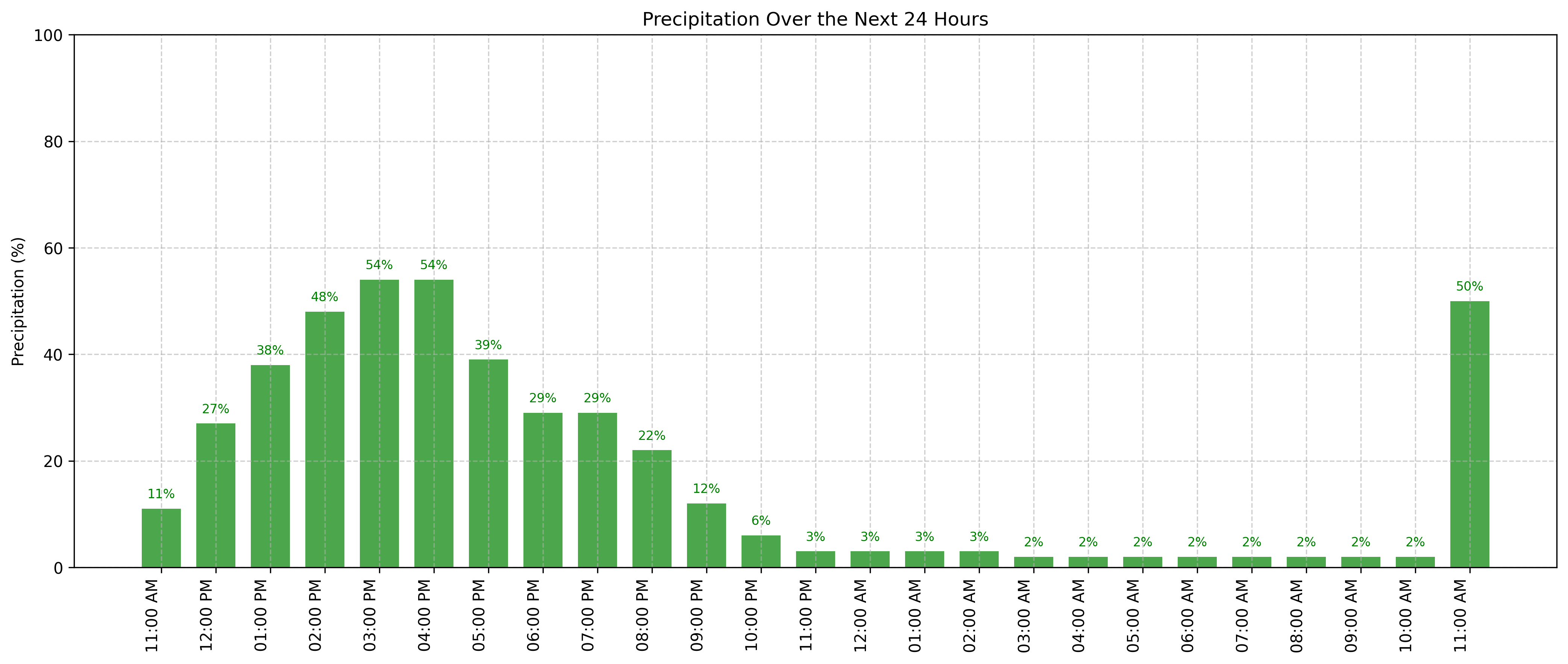
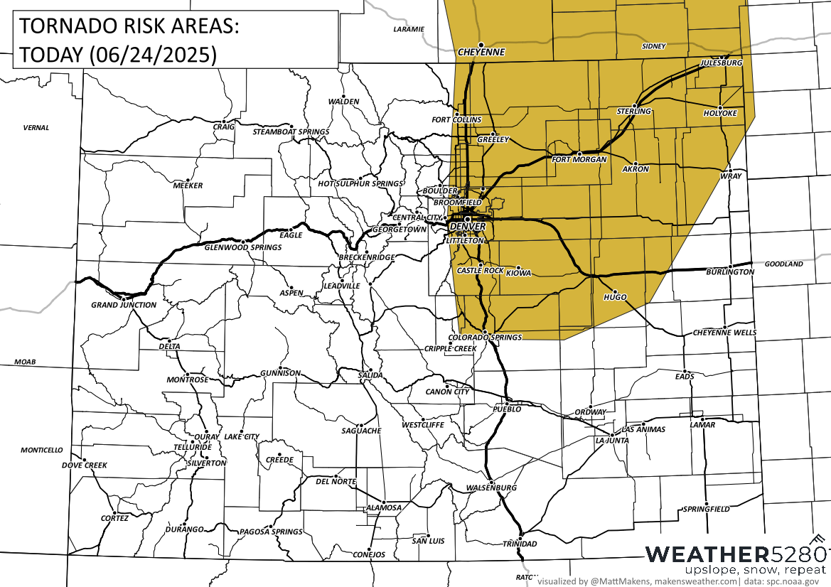
The biggest concerns today are large hail, with some stones possibly reaching 2 inches in diameter, and damaging wind gusts up to 70 mph. There's also a chance for heavy rain leading to localized flooding, especially across the eastern plains. A tornado or two can't be ruled out either, though the risk is more isolated.
Wednesday keeps a chance for more scattered storms, mainly during the afternoon, but the severe threat looks lower. Drier and warmer weather will take over Thursday through the weekend, with only isolated storms popping up late in the day.
With today's threats in mind, it's a good idea to park vehicles in a garage if possible and stay weather-aware throughout the afternoon. Make sure you have a way to receive alerts, especially if you have outdoor plans later today.