Thunderstorms Make for Dazzling Skies over Denver

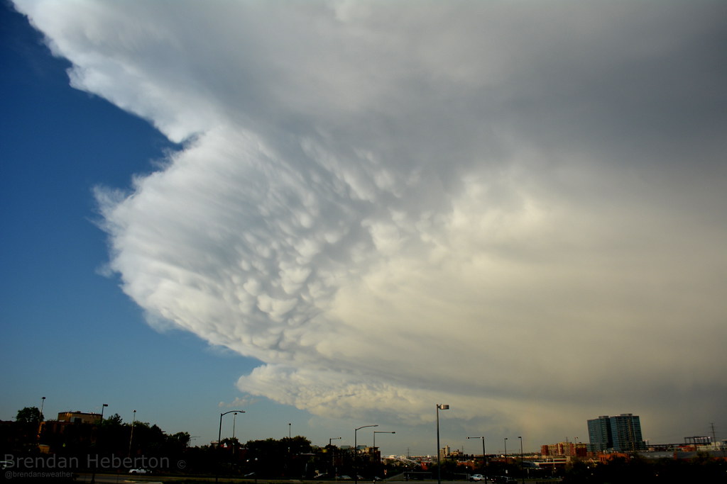
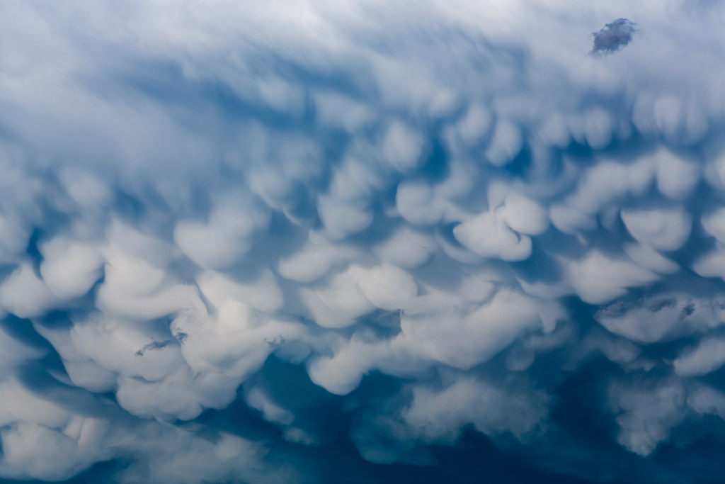
What a stunning night for storms across the Denver metro area and east. Just before 7:00pm Wednesday night the strongest storms began pushing east of Denver, giving off quite a display as they exited. The wild looking clouds you see below, the ones that look like bubbles? Those are called mammatus clouds or mammatocumulus, and frequently form on the underside of towering supercell thunderstorms. Maybe the most striking tonight was the color in the clouds as the sun lowered to the west.
This panorama captured both the mammatus clouds forming, and a rainbow to the right.

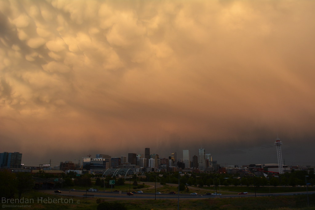
For about 20 minutes where was a beautiful orange glow to the entire backside of the storm
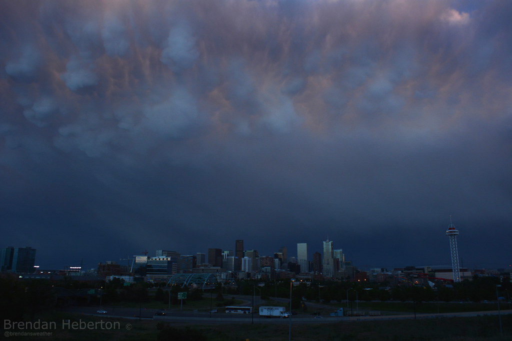
As the sunset, you could see the tops still colored through the dark wispy underside
https://farm4.staticflickr.com/3870/14349732505_c8978601e8_b.jpg
Incredible lightning display as storms moved east
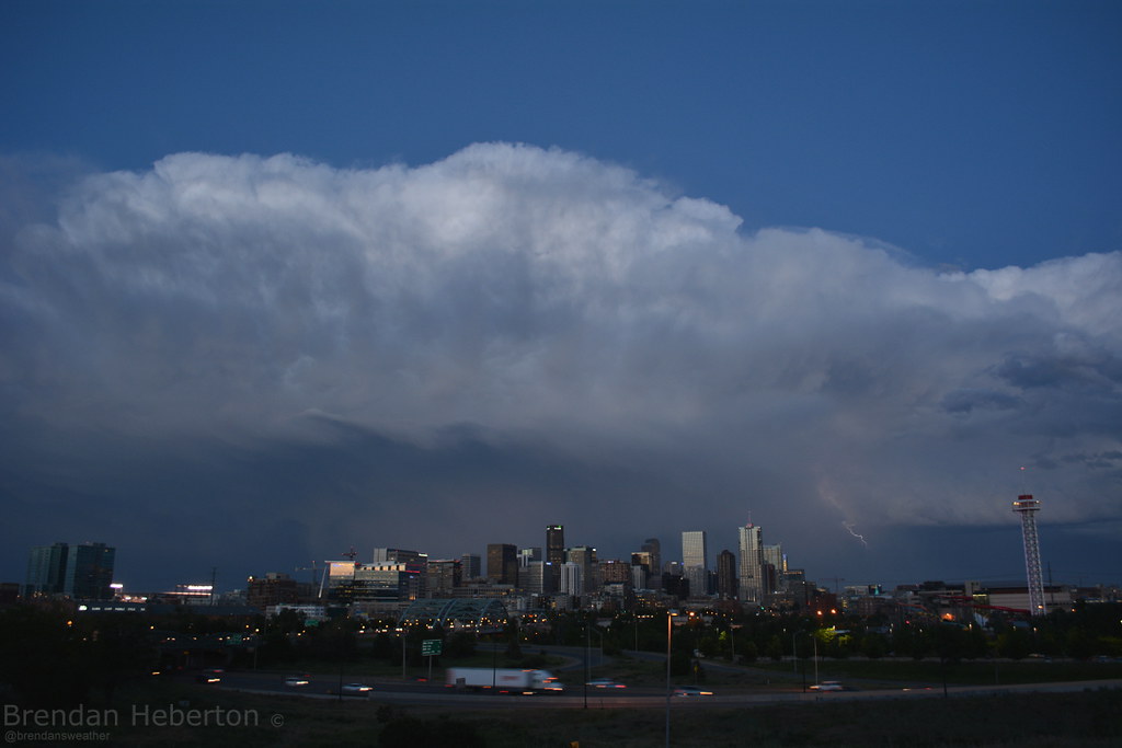
Storms east of the metro were stronger. Two tornado warned storms tonight, this one as it passed through Elbert and Lincoln counties (but did not produce a tornado), and later a confirmed spotted tornado southeast of Limon, Colorado.
Tornado warned storm from 10miles due east. #cowx pic.twitter.com/6pzHPTg1YM
— Matt Makens (@MattMakens247Wx) June 5, 2014Still watching this beauty in Lincoln County. Haven't seen a funnel, but amazing supercell. #cowx pic.twitter.com/CgMkx0dMIP
— Cory Reppenhagen (@CRepp7News) June 5, 2014