Storm winds down overnight, more snow in the forecast for Denver this coming week

A quick post this evening to update you all on the ongoing snow across the state, and a brief look to the week ahead.
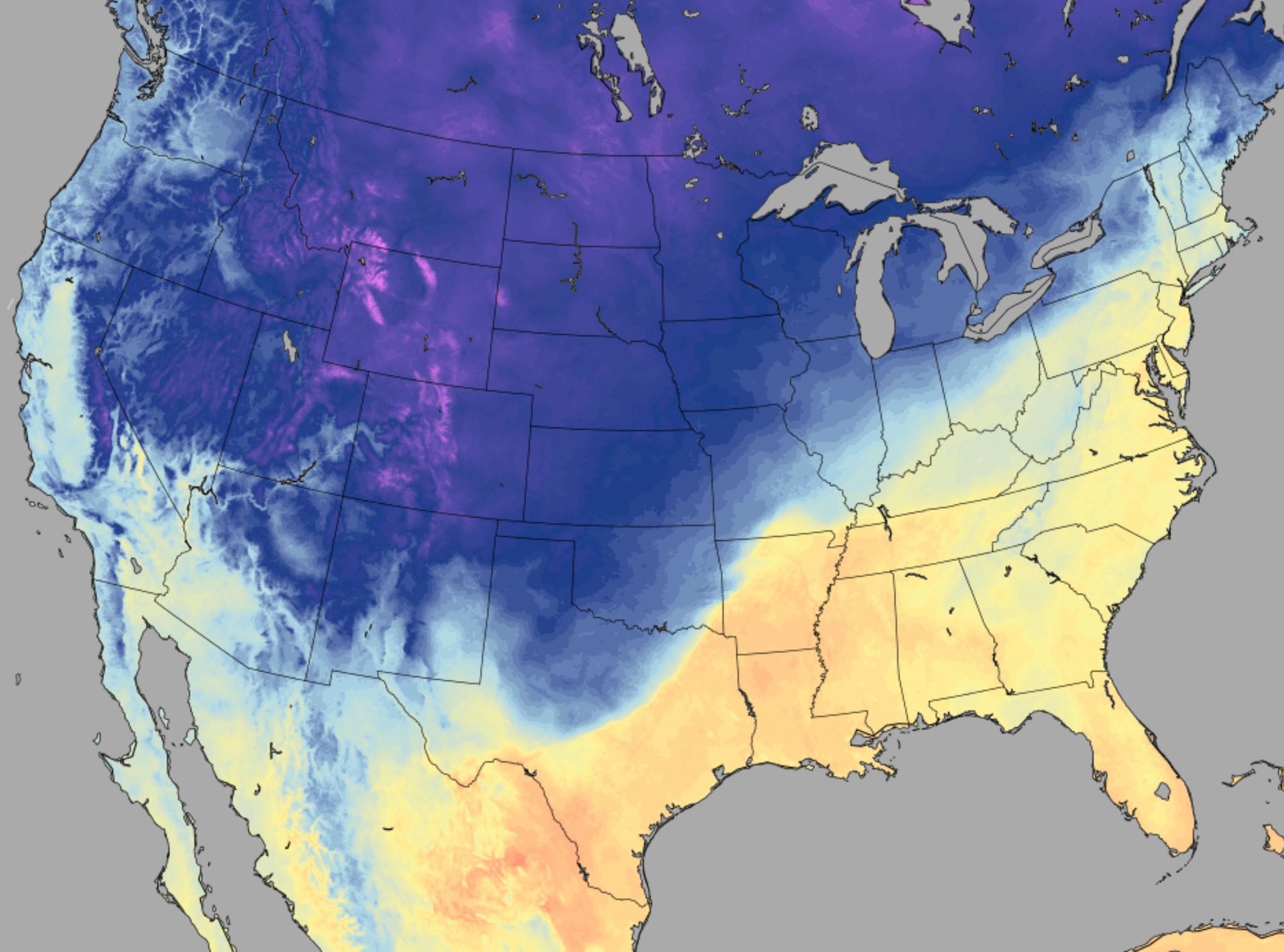
The weekend forecast has worked out quite well, especially given the high uncertainty of the rather messy pattern which came together to deliver today's snow. The far northeast plains look like our biggest miss on the forecast, as the heaviest snow to materialize on Saturday morning ended up south of that zone.
Our station, located on Denver's west side, has picked up just shy of 7.0" of snow since last night (forecast 3 - 7") with off and on light snow continuing, but the bulk of the accumulating snow behind us now. Through Sunday evening 4.1" of snow had been reported at DIA, and we expect that number to go up a bit by the time all is said and done Monday. The forecast for DIA was 2 - 5".
The hourly planner shows the best precipitation probabilities dropping off overnight tonight, but still a 10 to 20% chance of snow in the forecast through much of the day Monday for our area:

Any additional accumulation is expected to be light, but with lows in the teens overnight the roads which were already deteriorating this evening will be icy for that morning commute.
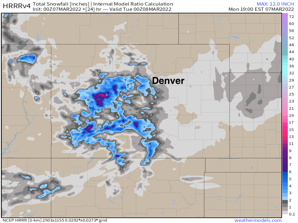
The latest HRRR shows very little additional snow is expected north of Denver through Monday, with 0 - 2" from Denver south across the Palmer and along the southern reaches of the I-25 corridor:
Tuesday will be a pretty quiet day around here ahead of our next system, but still cool. Highs only in the low 40s in Denver, with sunshine in the forecast.
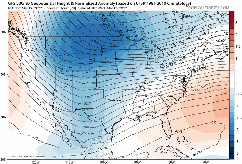
The next event arrives for Wednesday and Wednesday night and will bring another chance of snow to Northeast Colorado as a rather potent late-season cold front crashing down the plains.
Highs Wednesday will be in the 30s with the chance of snow increasing by the evening commute, followed by single digit lows Wednesday night and a chance of snow.
Thursday's highs will struggle to reach 20°F in Denver as things appear today, with a snow ending. Lows Thursday night into Friday will again be in the single digits, with some areas possibly dropping below 0°F.
It's too early to know how much snow we're likely to receive with this next system, but accumulating snow does look probable at this time. The latest GFS is in the 4 - 8" range for the Denver area, while the Euro is in the 3 - 5" range. Plenty can change between now and then, but worth noting as it looks like our active snow streak is likely to continue for another week.